Abstract
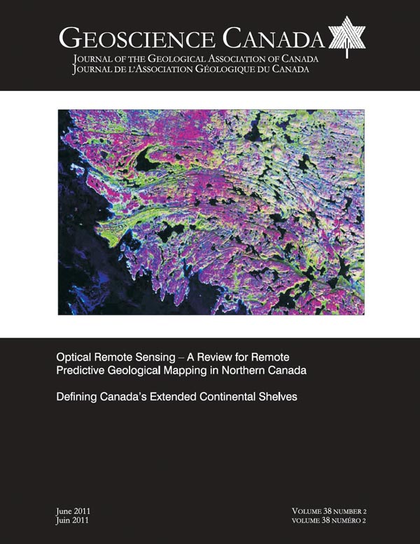
Optical remotely sensed data have broad application for geological mapping in Canada’s North. Diverse remote sensors and digital image processing techniques have specific mapping functions, as demonstrated by numerous examples and associated interpretations. Moderate resolution optical sensors are useful for discriminating rock types, whereas sensors that offer increased spectral resolution (i.e. hyperspectral sensors) allow the geologist to identify certain rock types (mainly different types of carbonates, Fe-bearing rocks, sulphates and hydroxyl-(clay-) bearing rocks) as opposed to merely discriminating between them. Increased spatial resolution and the ability to visualize the earth’s surface in stereo are now offered by a host of optical sensors. However, the usefulness of optical remote sensing for geological mapping is highly dependent on the geologic, surficial and biophysical environment, and bedrock predictive mapping is most successful in areas not obscured by thick drift and vegetation/lichen cover, which is typical of environments proximal to coasts. In general, predictive mapping of surficial materials has fewer restrictions. Optical imagery can be enhanced in a variety of ways and fused with other geo-science datasets to produce imagery that can be visually interpreted in a GIS environment. Computer processing techniques are useful for undertaking more quantitative analyses of imagery for mapping bedrock, surficial materials and geomorphic or glacial features.
SOMMAIRE
Les données recueillies par télédétection optique offrent beaucoup de possibilités pour la cartographie géologique des régions nordiques canadiennes. La diversité des télécapteurs et des techniques de traitement numérique des données permet la définition de fonctions de cartographie spécifique, tel que l’illustre de nombreux exemples et interprétations associées. Des capteurs optiques de moyenne résolution sont utiles pour différencier les types de roche, alors que les capteurs à plus fines résolutions (les capteurs hyperspectraux, par ex.) permettent au géologue de subdiviser certains types de roches (principalement différents types de carbonates, roches ferrugineuses, roches à sulfates et à hydroxyle (argile). Une meilleure résolution spatiale et la fonction de vision stéréoscopique sont maintenant offertes sur une gamme de capteurs optiques. Cela dit, l’utilité de la télédétection optique pour la cartographie géologique est fortement tributaire des conditions de la géologie de surface et de son environnement biophysique, le potentiel prédictif de la télécartographie étant maximal pour les régions exemptes d’une couverture épaisse de dépôts glaciaires ou d’une couverture végétale/lichen caractéristique typique des environnements longeant les côtes. Divers procédés permettent de rehausser l’imagerie optique et de réaliser des fusions avec d’autres jeux de données géoscientifiques et de produire une imagerie visuellement inter-prétable en environnement de SIG. Les techniques de traitement de données par ordinateur sont utiles pour d’autres types d’analyse quantitative d’imagerie pour la cartographie des matériaux de couverture du socle et pour répertorier des formes glaciaires et géomorphologiques.