GAC-MAC 2013: Field Guide Summary
The Rice Lake Mine Trend, Manitoba:
Regional Setting, Host-rock Stratigraphy, and Structural Evolution of a Classical Archean Orogenic Lode-Gold System
FIELD TRIP OBJECTIVES
1 This three-day field trip will provide an overview of the key geological attributes of a major orogenic gold system in the Archean Rice Lake greenstone belt of the Uchi Domain, western Superior Province. Situated along the crustal-scale Wanipigow Fault, the Rice Lake belt is thought to represent vestiges of a long-lived oceanic basin (ca. 2.9 – 2.7 Ga) that accreted to the south margin of the ca. 3.0 Ga continental North Caribou Terrane during tectonic assembly of the Superior Province.
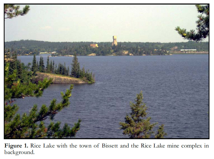
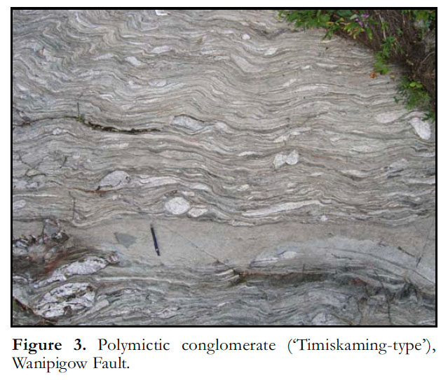
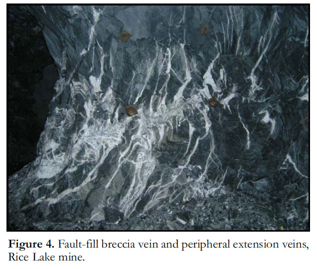
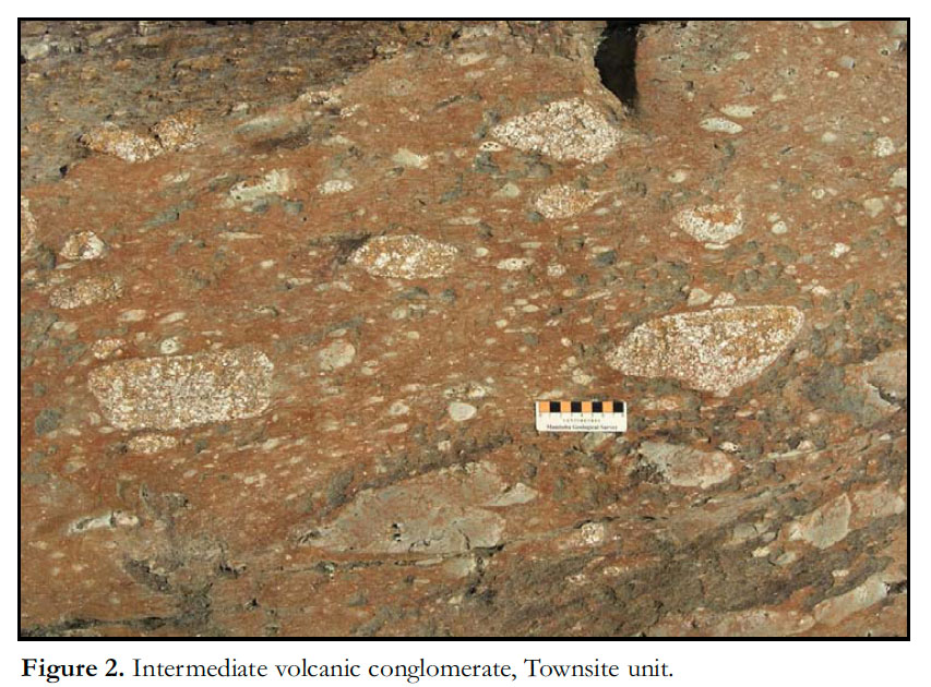
2 With a collective gold endowment of approximately 5 million ounces, the Rice Lake mine trend is the most significant lode-gold district in Manitoba. Clean bedrock exposures at Rice Lake (Fig. 1) provide an excellent opportunity to examine: 1) the character and stratigraphy of Neoarchean subaqueous effusive volcanic and volcaniclastic rocks (Fig. 2), associated subvolcanic intrusions, and an unconformably overlying succession of flu-vial-alluvial (‘Timiskaming-type’) sedimentary rocks (Fig. 3); 2) the geometry and overprinting relationships of mesoscopic deformation structures, which demonstrate a protracted history of synvolcanic faulting, early regional tilting, local synorogenic extension, intense regional compression and late-orogenic dextral transcurrent shear; 3) complex arrays of auriferous quartz-carbonate veins hosted by shear and tensile fractures (Fig. 4); and 4) the effects of hydrothermal alteration under greenschist facies metamorphic conditions in a variety of rock types. This field trip will also include a visit to the Rice Lake mine complex and an underground tour of spectacular new exposures of high-grade quartz-carbonate vein systems.
 Display large image of Figure 1
 Display large image of Figure 3
 Display large image of Figure 4
3 The field trip is designed for specialist geoscientists and graduate students interested in greenstone belt geology and orogenic gold deposits. It will provide opportunities to discuss the setting and controls of vein emplacement within the context of the geodynamic and metallogenic evolution of greenstone belts in general and the Uchi Domain in particular. The field trip complements the GAC–MAC 2013 Special Session entitled Tectonic Evolution and Metallogeny of the Superior Province: New Insights from the North Caribou Terrane, the ‘Ring of Fire’, and Beyond.
OTHER INFORMATION
4 Rice Lake is approximately 250 km driving distance from Winnipeg (3 hours travel time), in southeastern Manitoba. The field trip stops are easily accessible along roads or bush trails, but may require walking on uneven or wet surfaces; one stop will require a round-trip hike of 3.0 km on flat terrain, which may be wet in places. Personal protective equipment will be provided for the underground tour.
