GAC-MAC 2012: FIELD GUIDE SUMMARY
Geotourism and the Coastal Geological Heritage of the Bonavista Peninsula:
Current Challenges and Future Opportunities
1 The Discovery Trail stretches along the Bonavista Peninsula in eastern Newfoundland and spans one of the most historic and beautiful parts of the province. This three-day field excursion will explore the coastal geological heritage of the region, and how its geological history has shaped the land, and the land has shaped the people and culture.
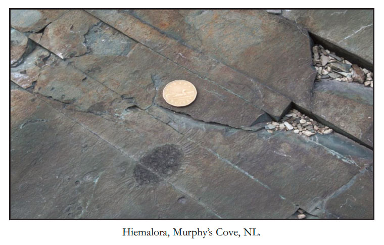
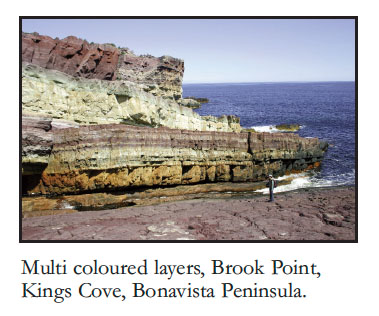
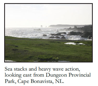
2 The spectacular land and seascapes provide a glimpse of the ancient history of the Earth, exposing rocks that are more than a half-billion year old, once part of an ancient ocean, long vanished. These rocks reveal ancient volcanoes, ancient river plains, deep-ocean basins, wide, shallow seas, and have preserved some of the earliest multi-cellular life after ‘Snowball Earth’. These newly discovered Ediacaran fossil localities have much in common with the worldfamous sites at Mistaken Point and provide a unique glimpse of nature’s earliest experiments with the evolution of animals.
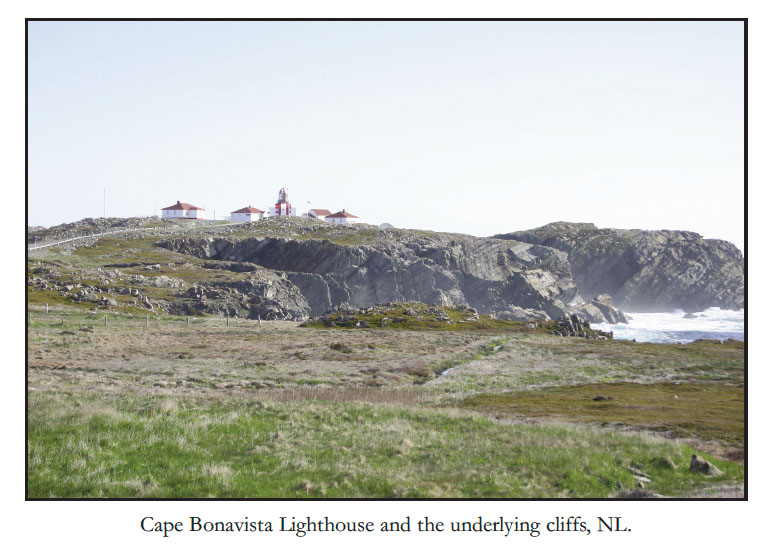
3 This trip will also include visits to sites of colourful historic and cultural significance, including the union-built town of Port Union; Cape Bonavista Lighthouse; Elliston, the ‘Root Cellar Capital of the World’; King’s Cove and numerous scenic coves and communities spanning the coast.
4 This excursion is designed for the non-specialist and will provide a unique setting to discuss the opportunities and challenges of interpreting and developing geotourism sites. Emphasis will be placed on Global Geoparks and regional sustainable socio-economic, cultural development, education and protection of assets.
 Display large image of Figure 4
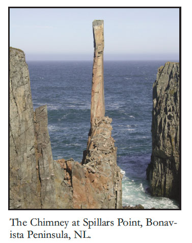
5 This field trip complements the special session entitled, Preservation of Geological Heritage and Its Contribution to Education and Economic Development.
6 Other Information The Bonavista Peninsula is approximately 3.5 hours (via TCH and Routes 230 and 230A) from St. John’s. Most of the stops are accessible by roadside or coastal locations. The trip will involve some hiking along coastal outcrops, generally on level, but possibly wet ground. Some of the Ediacaran fossil sites require hiking on defined coastal trails, with the longest hike approximately a 4 km roundtrip.